NS Government Interactive Maps
The maps on this page are links to the most popular government interactive maps. If you would like other maps shown here, just let us know.
Be patient when loading the maps. It takes a bit of time, depending on your internet speed.
Most maps do not work well in Firefox.
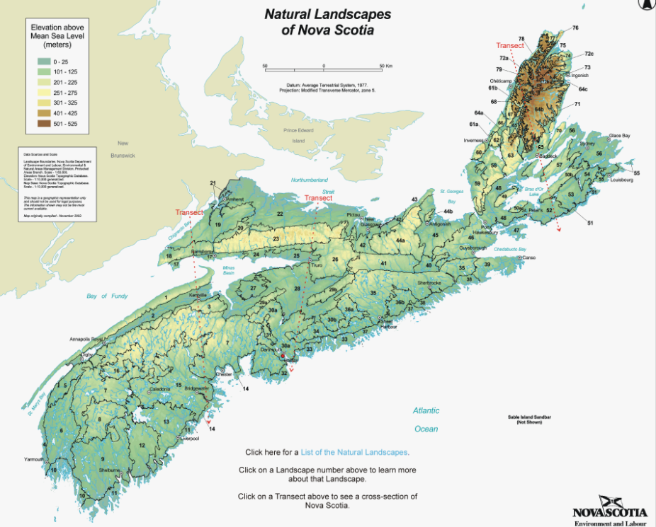
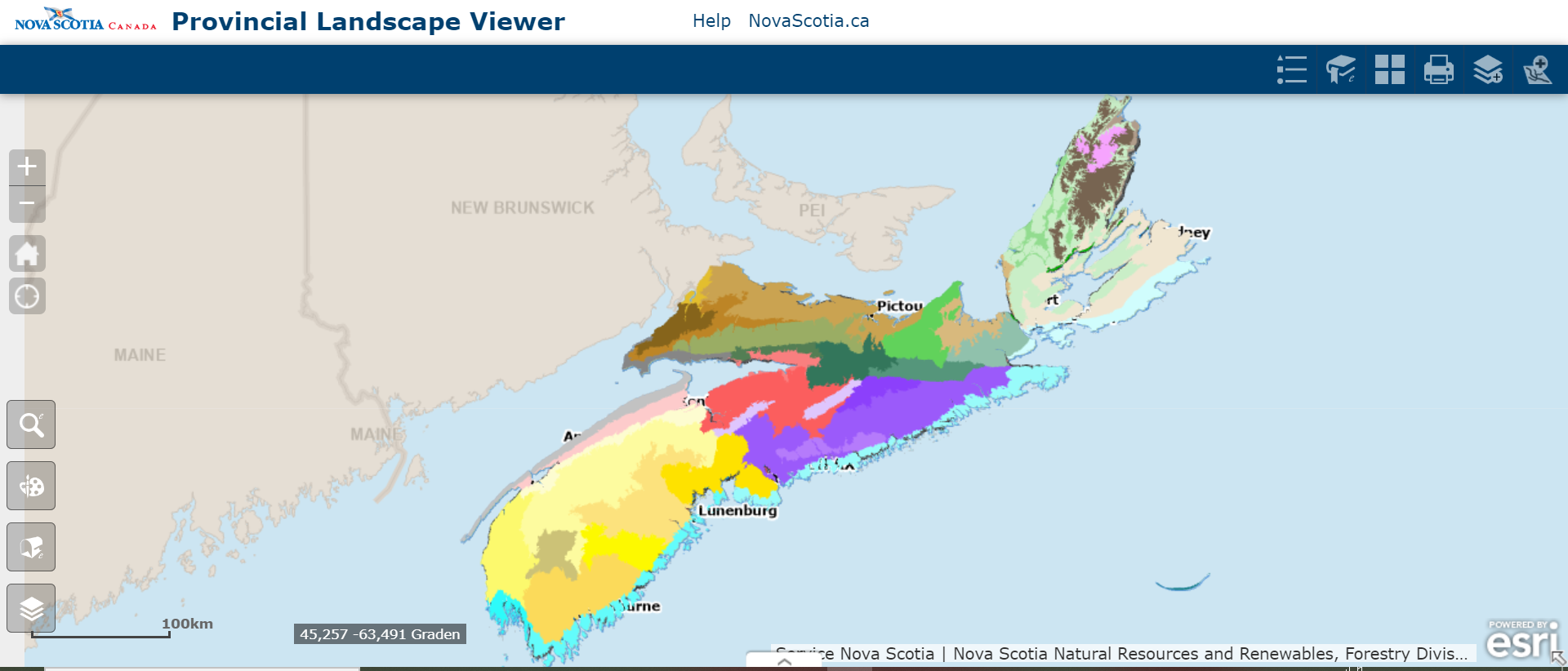
Click here to view or download the list of landscapes in Nova Scotia (last updated in 2002)
Note: the interactive map does not work well on smartphone.
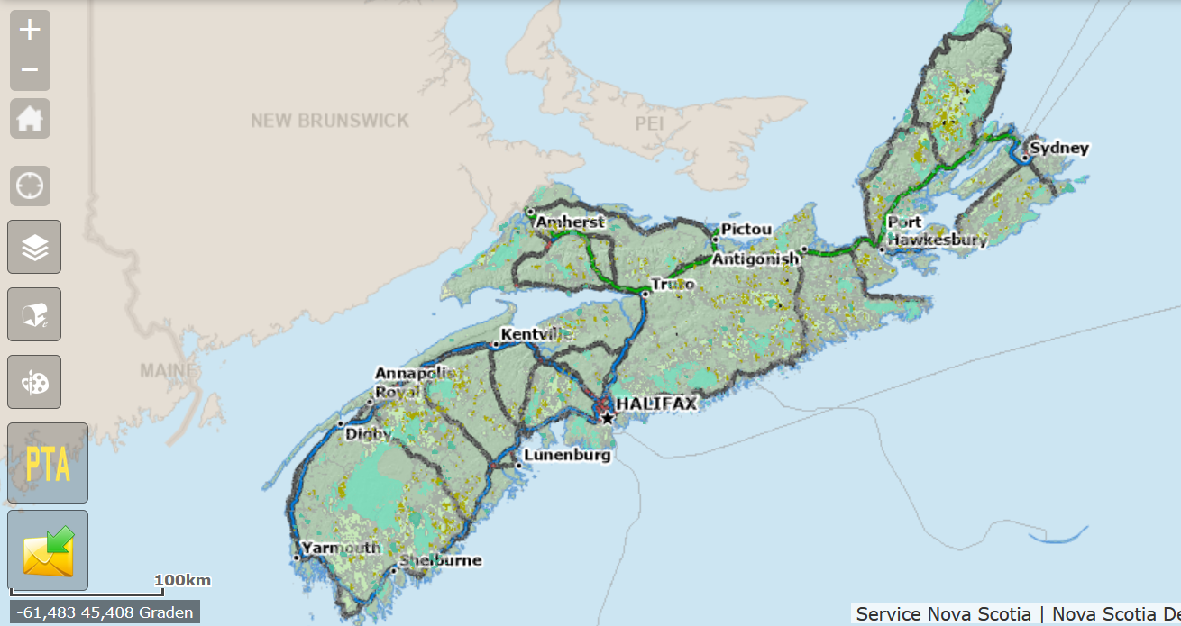
If you need to search for licenses, properties and other data associated with mineral resources and resource extraction in Nova Scotia, click on the NovaROC map.
Warning!
Landowners do NOT hold mineral rights to their property. The province does. That means the Province can lease those rights to anyone who will pay the $11.42!
Translation: anyone with a mineral claims lease can drill on your property with or without your permission.
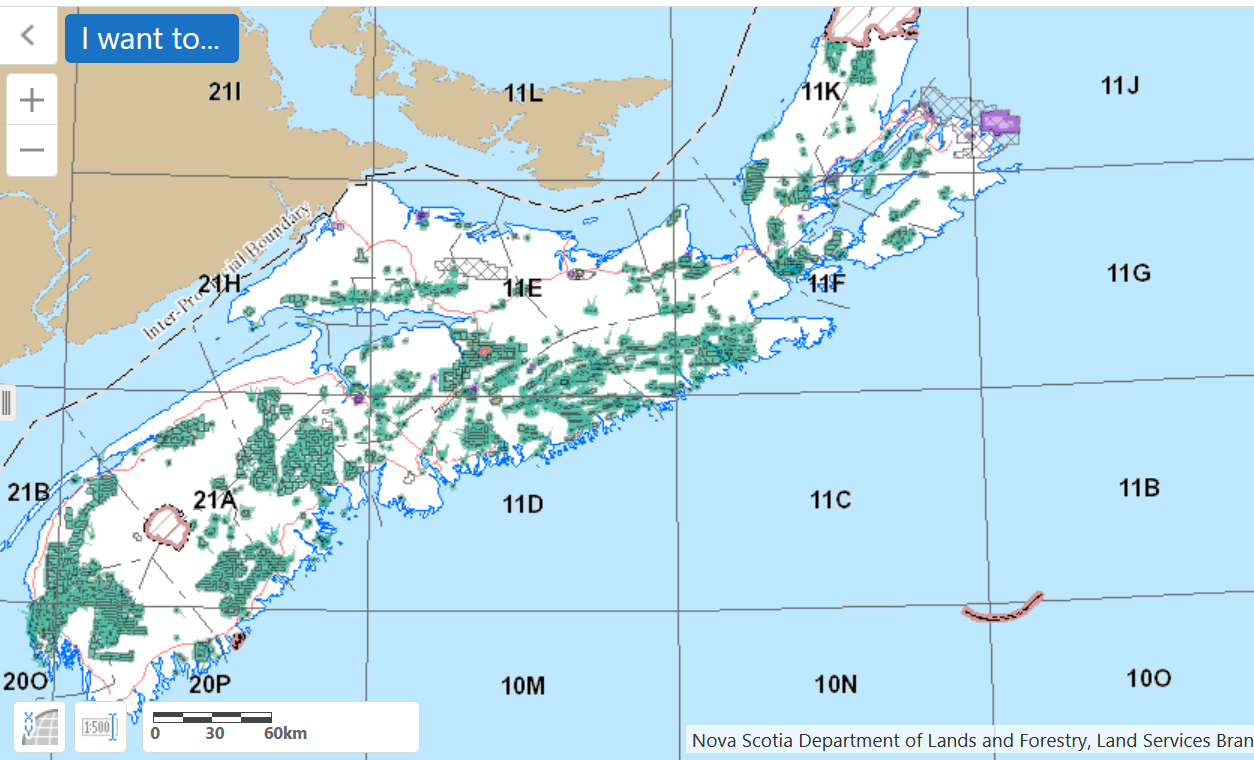
Harvest Plan Map
New proposed harvests are shown on the map as black dots (click on this map to be re-directed to the official site). You have 40 days to comment on the proposal.
Every 6 weeks or more, the Department of Natural Resources and Renewables (DNRR) issues a list of proposed “harvests” of trees on Crown Land. Most of the tree removals are clearcuts.
To view the map, you first have to check the “I agree” box in the lower left hand corner of the page and then click “ok” in the right hand corner.
Past clearcuts / harvests are the gold-coloured areas on the map.
It’s important to comment on the harvest areas so that the DNRR officials will be triggered to survey the area for species at risk and/or protected habitats. This is where citizen scientists are really important.
How to comment
Click on the yellow envelop at the bottom left of the map. Then click on the area you want to comment on. A dialog box will pop up with a comment section.
Parks and Protected Areas
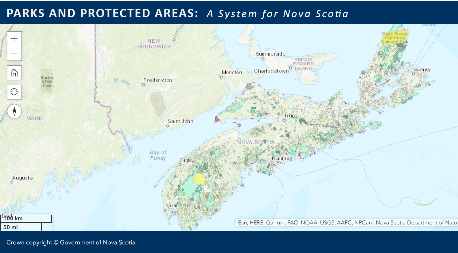
The Parks and Protected Areas Plan (2013) is a list of properties that are protected (designated) or under review. This is an important difference. There are differnt catagories of protection under this Plan
The Parks and Protected Areas Plan 2013 can be viewed or downloaded via this link:
Designated Park: a protected public park where some development is allowed (See West Mabou Beach Provincial Park).
Non-designated Park: this property is still under consideration for protection. It can be delisted from the parks and protected areas list. (see Owls Head Provincial Park)
Nature Reserves: areas selected to preserve and protect, in perpetuity, representative (typical) and special natural ecosystems, plant and animal species, features and natural processes. Scientific research and education are the primary uses of nature reserves and recreation is generally restricted. (NS government website).
Wilderness Areas: protect representative (typical) examples of Nova Scotia’s natural landscapes, our native biological diversity, and outstanding natural features. They are used for scientific research, education and a variety of recreation and nature-tourism related activities such as hiking, canoeing, sea-kayaking, sportfishing and hunting.
Wilderness areas are protected under the Wilderness Areas Protection Act. (website NS government) No development is possible.

